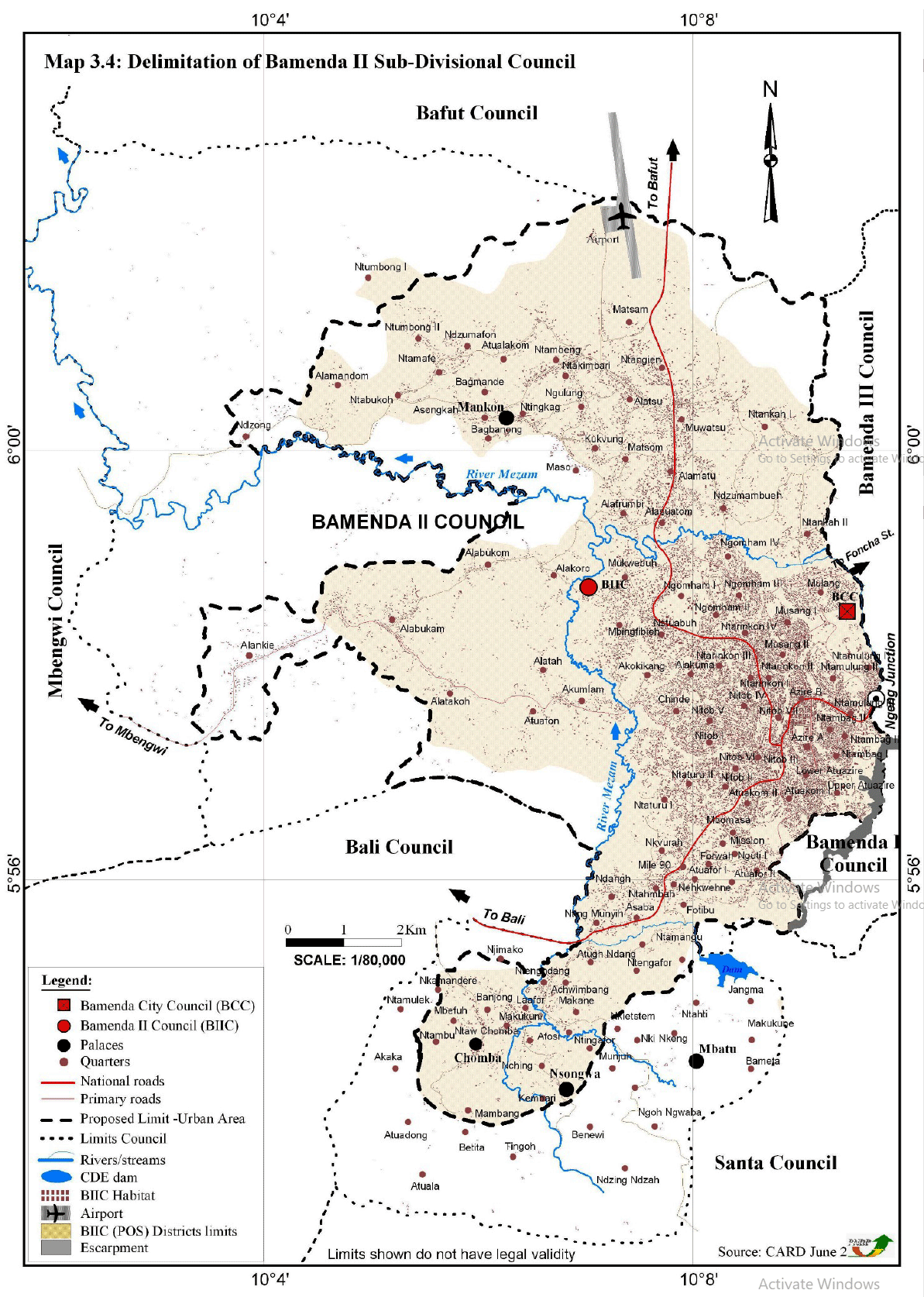
The limits of Bamenda II Council were as per Presidential Decrees No2007/115 of 13 April 2007 and No 2007/117 of 24th April 2007 split the then Bamenda Urban Council into Bamenda I, II and III Councils. The limits of the urban area during the previous urban studies (Master Plan 1985, PDU 2011 and LUP 2014) excluded some urban communities or simply split some quarters, households and estates. That of PDU 2011 arose from using a radius of 5km to circumscribe the urban area from the rural/peripheral.
The limits of the urban area were further modified during the elaboration of its Land Use Plan (LUP) 2014. Few discrepancies were also noticed with the new LUP limits as Alabukam, Ntabukoh, Asongkah, Bagbanong, Kukvung and Maso quarters were equally split. The map below shows the limits as contained in the previous urban planning documents. The next map shows modifications on the urban limits based on the current CDP studies using high resolution (0.5m) satellite images as base map during the delimitation which equally took into account the direction of urban expansion.